Caprock Canyons State Park Is Where the Hardcore Hikers Go
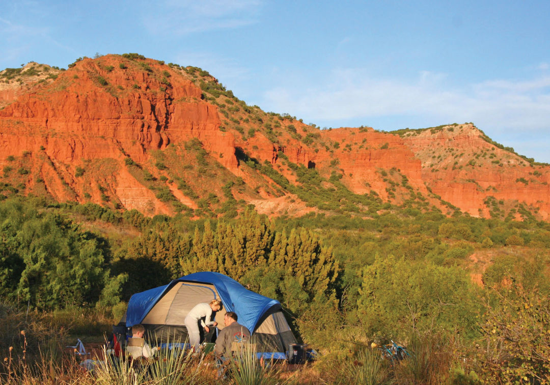
Pulling into Caprock Canyons State Park, roughly 100 miles southeast of Amarillo, feels like a revelation. After miles of cotton fields, you follow the park’s main road, pass the Official Texas State Bison Herd, and slowly descend into the belly of the park’s namesake canyon. Soon you’re surrounded by hoodoos and steep walls, glowing red and orange in the sunset.

Haynes Ridge is a park highlight.
“Hay sierras debajo de los llanos” is the phrase early Mexican settlers used to describe the region, according to Texas Parks & Wildlife: There are mountains beneath the plains. Ledges and arroyos hide like mirages just beyond the horizon. The 15,000-acre park is a well-kept secret, the perfect place to go when the urge to get away calls you.
That was our plan. We’ve camped dozens of times before, including primitive car camping deep in the Chihuahuan Desert, but I’d never carried my own gear. At Caprock, my partner and I hauled everything we needed for four days, plus enough water for drinking and cooking—around 35 pounds each.
That may seem heavy, but the hike into the campsite, which has composting toilets, was fairly beginner-friendly at 1.25 miles. If campers happen to run out of water (or food), they can hike back to the car in less than half an hour. But the distance is still far enough to earn you true solitude, especially at night, when the canyons cast shadows on everything below them.
One of the park’s highlights is the John Haynes Ridge, a fairly flat and easy overlook that offers more than two miles of sweeping views. But the hike up to the ridge can be challenging. At both ends the trail climbs vertically for roughly half a mile, over broken rocks and gravel ledges. Surrounding this trail is a six-mile loop that takes you past some of the park’s most famous hoodoo formations north of the ridge, and along a small creek bed to the south.
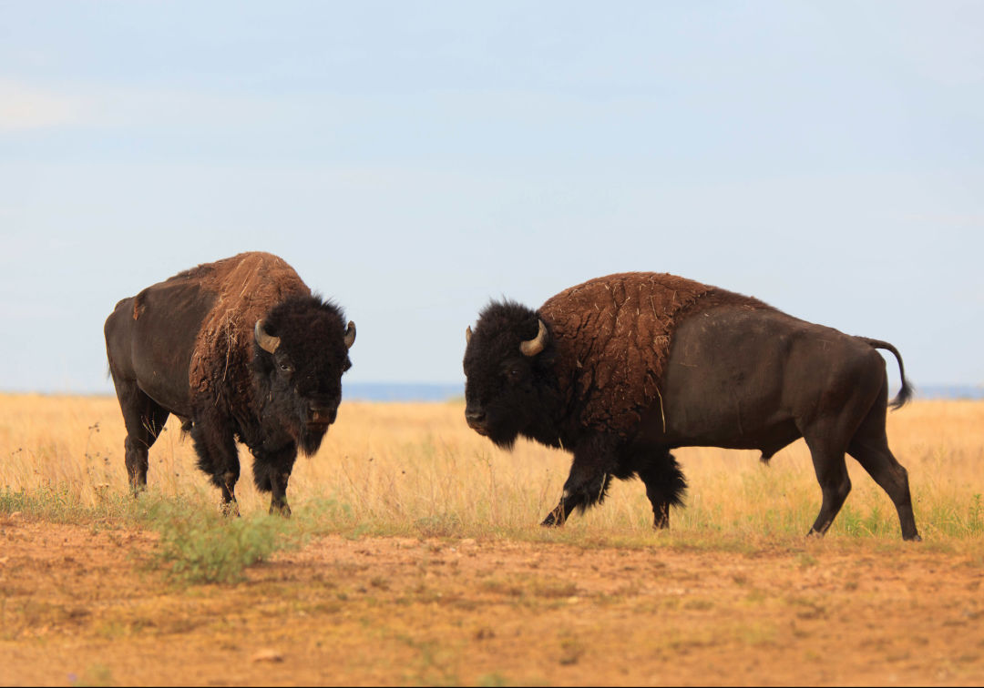
Caprock Canyons is home to the Official Texas State Bison Herd.
The primitive campsites, where we stayed, are just off this trail. Ours was just a short hike uphill from the creek bed, in a clearing between two narrow canyon walls. We set up our tent under a tree covered in bison fur, a scratching post. The bison have free run of the entire park—the herd will often block the trails, and hikers are cautioned to give the animals space. We saw raccoon prints and heard coyotes every night, but aside from one very brave bunny, were completely alone at our campsite for four whole days.
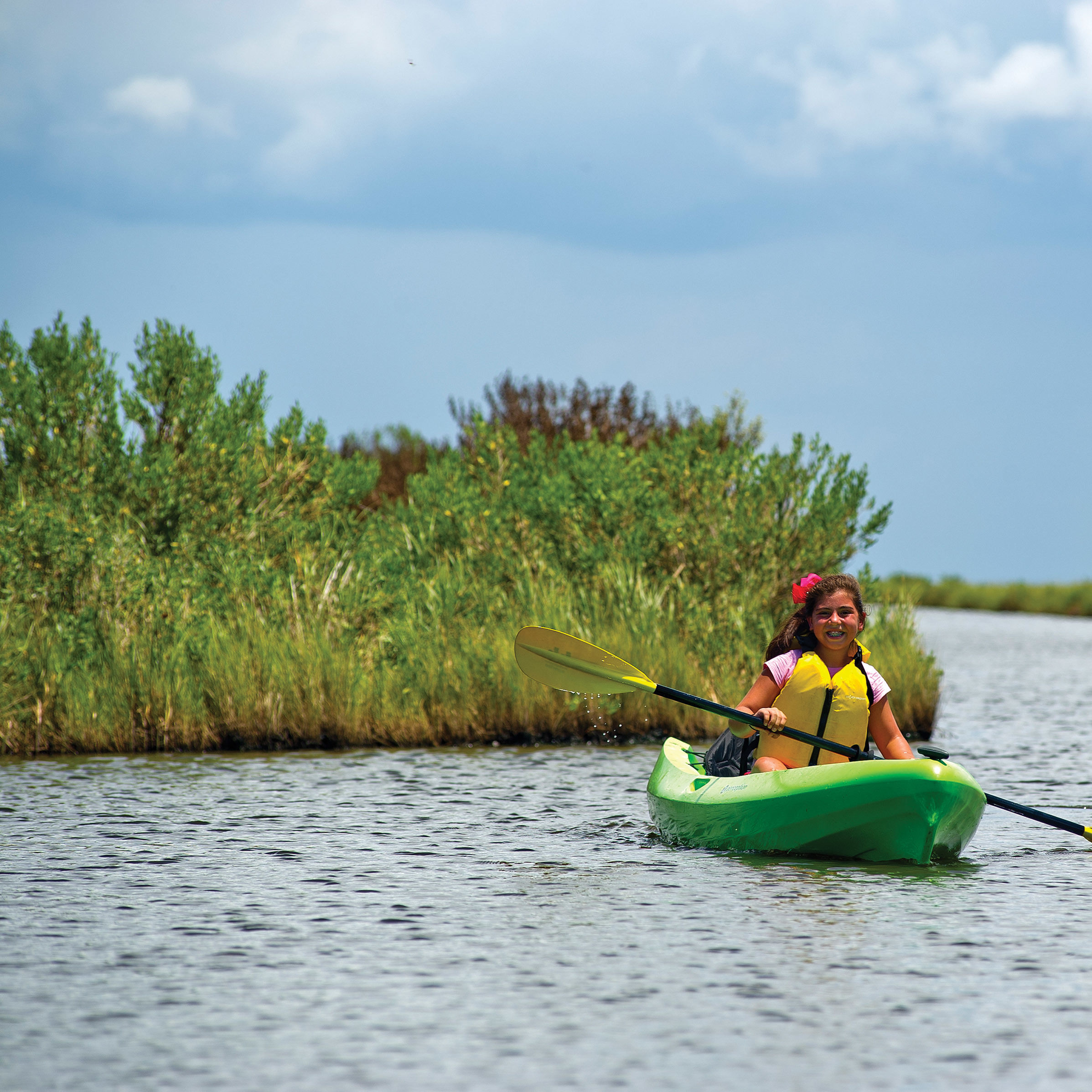
The park’s trails are set up as a series of interlocking loops, suitable for everything from casual wildlife watching to mountain biking. We spent our days hiking, including Haynes Ridge and an offshoot trail that leads to a spring-fed cave covered in ferns. For an easier, but no less magnificent, hike, campers can start at the RV campsite—and prairie dog town—and follow a flat path offering dramatic views from the rim into the narrow valley below.
In the evenings, the sun sets early in the canyons, which leads to excellent stargazing. When we were there, the wind swept through the canyon walls, howling as it approached. It rattled the walls of our tent and left a trail of fine red dust over everything. In between gusts, the coyotes chattered.
On our last day, as we were leaving the park, one of those coyotes emerged from the low brush to cross the road in front of us. A few miles later, we paused to watch the bison drink from a water trough. After four days in the wilderness, I too felt refreshed.
For Thru-Hikers: Caprock Canyons Trailway
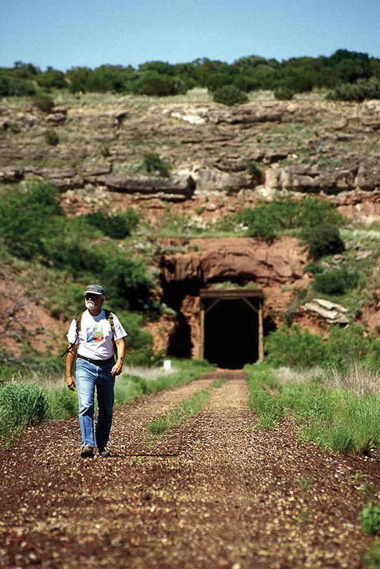
If long-distance hiking is more your style, there’s 64 miles of trails stretching from Caprock east to Estelline in the Red River Valley, along the defunct Burlington Northern rail line. This system is broken up into 5- to 12-mile chunks, with small towns in between for restocking supplies, including water. The trail crosses over 46 bridges along the way, and runs through the Clarity Railroad Tunnel, which houses a bat colony. The journey is fairly flat, making it doable on both bike and horseback. Camping is allowed anywhere along the trailway within park boundaries.
Three Recommendations for Experienced Hikers
One Star Hiking Trail
At 140 miles, this trail, in the Sam Houston National Forest, is the longest wilderness footpath in Texas. Depending on your walking speed, hiking the entire thing takes about a week. Because of the forest’s dense undergrowth, many recommend sleeping in a hammock instead of a tent—this will also make your pack lighter. If you don’t have a whole week, two popular segments are the Magnolia Section and the Big Creek Scenic Area, both about nine miles.
Lost Maples State Natural Area
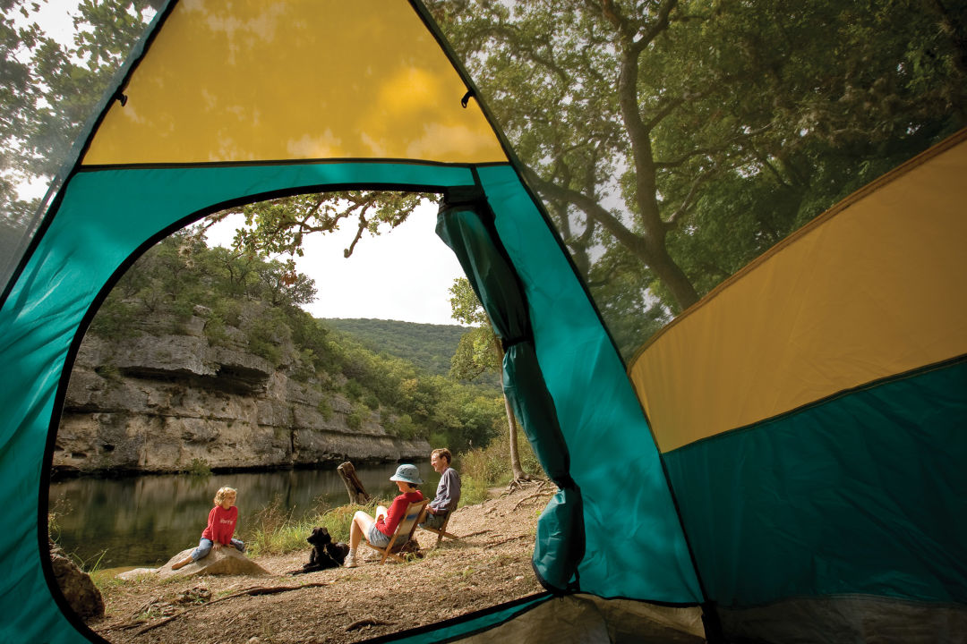
Ultra-light backpacking is easier if you have a place to filter water instead of carrying it. Here, there are several hike-in campsites just off the park’s main trail, including a number along the Sabinal River. Many also have composting toilets. The trade-off is that, in some locations, you’ll have hikers passing your homestead all day. This park is most popular during fall, when the maple leaves change colors, so go during the off-season for more seclusion.
Trail Between the Lakes
Elsewhere in the Piney Woods lies the lesser-known Trail Between The Lakes, stretching 28 mostly-flat miles from Lake Sam Rayburn to Toledo Bend in the Sabine National Forest. Though the trail crosses many creeks—and three distinct ecosystems—rangers recommend caching water instead of filtering. This route is less-traveled than the Lone Star trail, which means fewer people, if that’s what you’re after, but also more overgrowth, which can increase the difficulty of the hike. It should be easily doable over a long weekend, but many hardcore hikers attempt to complete it in a single 24-hour period.