We’re Begging You to Get Off the Highway
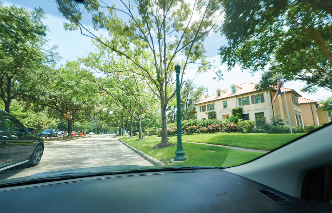
Image: Anthony Rathbun
You don’t see the Houston I see.
If you’re driving one of the 65.3 million miles that are racked up every day on Harris County highways, you’re probably experiencing the city as a blur of concrete and personal injury lawyer billboards. Taking the highway is a shortcut in a hurried society, but while it may save you time, it also removes you from the dynamic scenes that can be observed only with a street-level view.
As you’re fighting for your life on the freeway, I’m taking my time on the back roads. Despite what people think, your GPS’s “avoid highways” route adds just a few extra minutes if you’re traveling within the loop—and during Houston’s worst rush-hour traffic, it can even be a tad faster. Why choose 24 minutes battling 610 and 59 over a 28-minute, more scenic, and way less stressful drive?
That’s my choice, at least, from my southwest neighborhood to Houstonia’s Midtown offices. My highway-free commute takes me around the Texas Medical Center and through Hermann Park, a detour I gladly take to be immersed in my favorite green space, even if only for a mile. During a monthlong experiment a couple of years ago when I primarily traveled via highways, two things happened. I bought a whole extra tank of gas that month (driving faster can burn more fuel). And I desperately missed seeing my city.
While the freeways feel like a Houston fixture, they weren’t always here. In fact, they weren’t even meant to be here in the first place. In the 2024 book City Limits: Infrastructure, Inequality, and the Future of America’s Highways, Austin-based author Megan Kimble shares a frustrating discovery. When President Dwight D. Eisenhower signed the 1956 Interstate and Defense Highway Act, which earmarked $25 billion to build 41,000 miles of roads, it was meant to connect broad swaths of the country—not build highways through cities. States were allowed to draw their own routes and construct them primarily on the federal government’s dime.
But as the program took shape, confusion over the bill’s language opened the door for a wide interpretation of it. Did “local needs” mean that state highway planners should take into account the preference of city officials? Did it mean the interstates should serve both nationwide and local traffic? Or perhaps something else entirely? While Congress bickered, cities planned routes designed to ease urban congestion within their limits, despite federal officials being adamant that expanding public transit was the best solution.
Eisenhower was not pleased when he learned how the plan was being executed. He made it clear that building highways in cities, not around them, went against his intended wishes. But money had already been allocated and routes assigned. And by then, it was an election year, and Eisenhower didn’t want the issue making waves for his vice president, one Richard Nixon. Ike hoped Nixon would prevail against young, charismatic Massachusetts senator John F. Kennedy. So much for that.
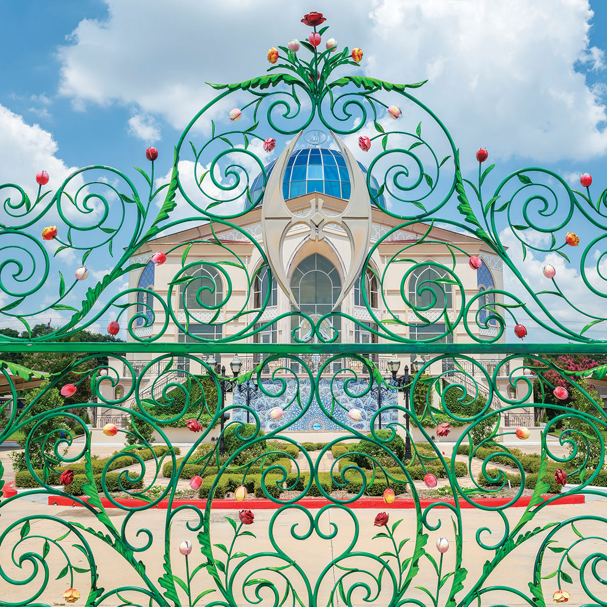
No city epitomizes Interstate Highway Act overreach more than Houston. The 610 Loop, I-69, I-45, and I-10 were etched into the fabric of the city, then expanded again and again. These interstates, plus a smattering of state highways, suck the life out of drivers and the vibrancy from our communities. And I’ve spent years telling anyone who will listen that they’re not the only way.
I travel through neighborhoods; you soar above them. I drive by community gathering spaces in Third Ward and public art in the East End; you’re deciphering a collection of contradictory green signs. I cruise below Bissonnet’s live oaks, pay my fleeting respects to the Museum District, and zip around the Mecom Fountain; you’re stuck on an on-ramp trying to merge.
Driving somewhere isn’t something I dread. I look forward to admiring the beautiful River Oaks mansions along that bending stretch of Kirby Drive, or spotting new businesses coming soon to the ever-changing Westheimer Road. The back roads hold all of Houston’s beauty, but they also tell its story, even if it’s not always pretty. Take a drive up and down Elysian and Hardy Streets in the Near Northside, and you’ll still find some remaining century-old houses, houses that have seen better days, days that could have come if the neighborhood hadn’t been choked by two highways on either side.
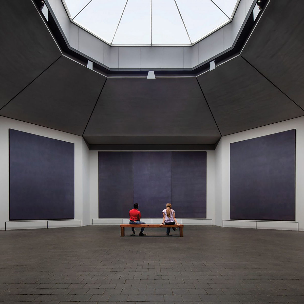
My favorite drives, however, are the undulating ones along the bayous. I love cutting through the southern part of the city on the scenic Braeswood Boulevard along Brays Bayou. And the way downtown’s skyline emerges between Buffalo Bayou Park’s trees when traveling east on Memorial Drive makes for one of Houston’s most iconic views.
These bayou-side roads could easily have been 12-lane highways. They make me think about the sheer space these giant slabs take up, and what we could have instead—more green space, sidewalks, and housing, to name a few.
We could keep building and expanding highways, reaching farther and wider into our concrete future. Or, like Kimble suggests, we could do something that may seem unimaginable, but has been done before. We could tear some of them down. And maybe then everyone could see the Houston I see.