Our Highly Memeable Freeways Redefined Who’s a “Houstonian”


Every month in Houstonia, James Glassman, a.k.a the Houstorian, sheds light on a piece of the city’s history.
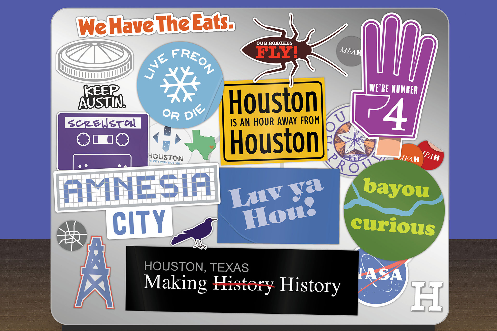
You’ve likely seen the meme claiming “Houston is an hour from Houston.” Yes, hilarious and insightful, but I see this as an optimistic observation. How lucky are we to have such a robust network of freeways, highways, and toll roads! Providing that you have a functioning car, Houston is relatively easy to get around, and gas is still cheaper than milk. Houstonians didn’t invent freeways, but they definitely have some world-famous (or infamous) ones, and the history of Houston’s major roadways is inextricably bound to the city’s growth from Bayou City into the Energy Capital of the World.
Yet when it comes to Houston’s freeways, I’m on the fence. Should we celebrate such plain functionality, or should we curse the lack of imagination and innovation? Houstonians solved the problem of traveling from A to B, but how to travel from A to B has been the bigger philosophical, if not pragmatic, question. We say yes to HOV lanes, but somehow no to commuter rail. Houston can be a riddle.
While your commute to and from work is longer than an episode of that new true crime podcast, you may ponder why you bought a house so far away from museums and theaters and the cool kids. Never mind that the wonderful Nigerian restaurant in the old strip center is far off the food critics’ radars, but only a two-minute drive from your front door. Whether you’re driving yourself from Katy to downtown, or semi-awake in a pre-dawn Park & Ride bus zipping down an HOV lane, the freeways work.
In the early decades of the twentieth century, American cities witnessed the growing popularity of inexpensive automobiles. The Great Depression and World War II intervened, but car sales grew to such an extent that established, local streetcars and interurban trains lost riders. From 1911 to 1936, the Galveston–Houston Electric Railway carried passengers between downtown Houston and Galveston Island on a dedicated track in as little as 75 minutes, and Houston’s last streetcar stopped service in 1940.
New York City had developed an expansive, if controversial parkway connecting its boroughs, and Los Angeles opened its famed Pasadena Freeway in 1940. Houston’s political leadership saw the potential for connecting Houston to the beaches of Galveston with a similar freeway. In 1943, the Texas Transportation Commission identified a route to Galveston, but Houston drivers would wait until after World War II for the dedicated roadway to open. And as the decade progressed, more freeway routes were identified and approved, including what would become I-45 North, I-10, US 59, and even the signature Loop 610.
The Houston City Planning Commission’s “The Major Street Plan for Houston and Vicinity, 1942” was a literal peek into the future. Previous Houston maps displayed rail lines and bayous, neither of which had a bright future in the coming decades. What rail maps did offer was a potential location for future freeways. I-10 and US 59 are virtual copies superimposed on or running parallel to the preceding rail lines, while Houston’s first freeway I-45 South (dubbed the Gulf Freeway) used newly acquired lands for its direct path to Galveston. The core freeway plan was resolved in 1954, and contemporary Houston’s freeway alignment remains nearly identical to that map. Who said we don’t have a master plan?
The Gulf Freeway finally opened in 1948, but feels like it’s been under construction ever since (there’s that meme again). Unlike previous surface roads leaving town, the Gulf Freeway took cars over intersections, and spared drivers red lights. And no tolls either—hence the name freeway. Back when cars had ashtrays, many were filled with coins…in other cities, that is.
The five freeway branches stretching out of all sides of downtown were missing something, however. Maybe the design solution to connect Houston’s outward sprawl was a connecting loop. Those branches would become spokes. Ironic, considering the concrete motorways would have nothing in common with, or in support of, bicycles.
Conceived as a “Defense Loop” to allow troops to defend the essential Houston Ship Channel, Loop 610 was approved by voters in a 1941 bond election and opened in 1975. It was so popular that they added more. Today, Houstonians pay to drive on the Sam Houston Tollway (Beltway 8) and the Grand Parkway (State Highway 99), a whopping 180-mile highway over seven counties in and around Greater Houston.
Have you ever noticed the tiny loop inside Loop 610? Downtown’s traditional boundaries are I-10, I-45, and US 59, which create an ersatz micro loop. This route gives the best views of Houston’s famed skyline—dynamite on all sides.
In a city without any major geographical features, the freeways are typically named for points on the compass, although Katy Freeway and Gulf Freeway stand out. US 59’s northeastern section was dubbed the Eastex Freeway and completed in 1970, in time for Houston’s new Intercontinental Airport, itself later renamed for President George H. W. Bush. (US 59 has a second name for a portion, I-69, but most use the original designation). US 290 and the South Freeway were the final spokes added to Houston’s freeway wheel. And for the sake of completeness, let’s not forget the Hardy Toll Road and Westpark Tollway on Houston’s signature roadways map.
For decades, Loop 610 remained the informal boundary for inner Houston. Countless Houstonians including real estate developers, politicians, and marketers self-identified as “inside the loop” or “outside the loop.” Due to Houston’s growing architectural homogeneity, inner loop snobbery has (mostly) faded—much in the same way old-timers say “San Fillupee” and “San Jacintuh,” the virtual dividing line has blurred. Sprawl may have delivered more Houstonians, via freeway, to satellite communities with culture, amenities, and distinct identities, but the Houston imprimatur still covers all. Thanks to the freeways, “Houstonians” can be found in such far-flung places as The Woodlands or Sugar Land or Clear Lake.


